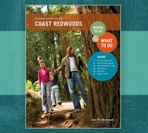
These guides offer a wealth of travel tips, activities and more for anyone who wants to explore the wonders of the redwood forest.
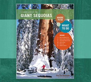
These guides offer a wealth of travel tips, activities and more for anyone who wants to explore the wonders of the redwood forest.