Protection Forever
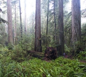
Our science-based Vibrant Forests Plan guides our efforts to protect and restore redwood forests. This plan identifies where we need to protect land to strengthen the forests we have conserved since our founding in 1918.
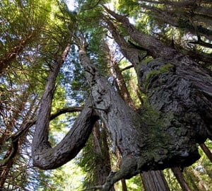
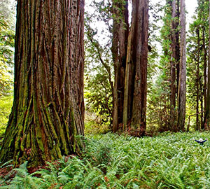
The Vibrant Forests Plan incorporates theory and principles of conservation biology. These principles guide Save the Redwoods to protect large blocks of contiguous redwood land that embrace the diversity of the forest.
Acquisition of land is only the first critical step in protecting redwood forests. Once land has been purchased, the League and our partners begin the never-ending work of ensuring that the redwood forest has the proper care to thrive. We support a comprehensive vision of forest conservation that includes working forests as well as protected parks and lands. This model ensures the long-term economic viability of the forest, preventing it from being developed or converted for other uses. Meanwhile, old-growth stands and wildlife habitats are preserved.
Visit our Restoration and Managing and Stewarding Land pages to learn how we protect redwood forests in perpetuity through holistic stewardship.
How We Protect Redwoods
Current Land Projects
Read about land you’ve helped protect recently and projects that still need your help.
How the League protects redwood forests
Learn about our approach to acquiring held lands and how it has evolved over the past century.
Managing and Stewarding Land
Learn about our approach to managing held lands. See examples of our current stewardship projects.
Creating Parks and Reserves
Find out how we safeguard land. See how many acres of redwood forest you’ve helped protect.
Studying Redwoods
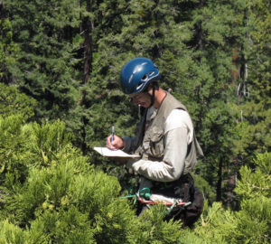
Learn more about how we study redwood forests and surrounding land and waterways to understand how to best protect them.
Advocating for Redwood Forests
Learn more about we are advocating for policy and legislation that will help us succeed in the next 100 years of redwoods conservation.