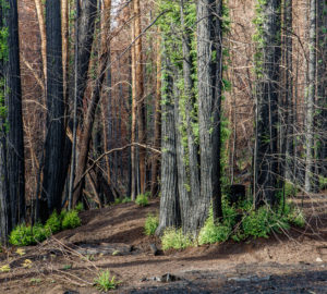
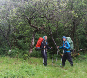
As our Stewardship Manager, I enjoy regular visits to our magnificent properties for a variety of reasons—checking that roads are clear for an upcoming tour, overseeing the demolition of a structure, investigating any issues with trespassers, checking for invasive species, and much more. Often while out hiking around on our properties, I discover interesting things—maybe a plant I’ve never seen before, a tiger salamander, some debris that needs to be removed, or a big redwood tree. When I come across these things, I take a photo, pull out my GPS unit and mark it!
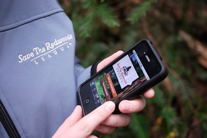
Then, when I get back to the office, I’m able to use a software program called GIS (Geographic Information Systems) to display a map of the property and the location of what I found. Monitoring a property and marking the location of things I find is a really important part of stewardship. It’s so helpful for finding that same spot again and monitoring any changes over time. It’s also really exciting to be able to show other people back in the office what I found and where.
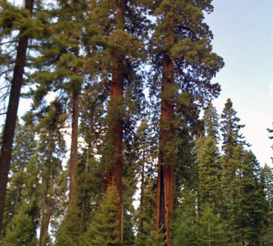
Being in nature is always a great opportunity to get away from the business of daily life. But sometimes, using a little technology while in the field can lead to some exciting discoveries, like locating a big, beautiful redwood tree!