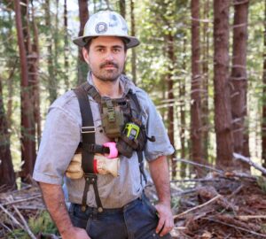
Our Director of Restoration Documented the Latest Progress on Redwoods Rising
I’d always thought about Redwoods Rising the way I think about mountain lions: Sure, everyone says they’re real, and I’ve seen lots of signs of them over the years, but until I actually got a look at one, I wasn’t totally convinced they actually existed. Same goes for Redwoods Rising. We have spent years in planning and preparation for this massive collaborative restoration program, but not having seen it in person I wasn’t quite sure it was actually happening … until now. I recently had the great pleasure of visiting the operations in Redwood National and State Parks, and what I saw was incredible.
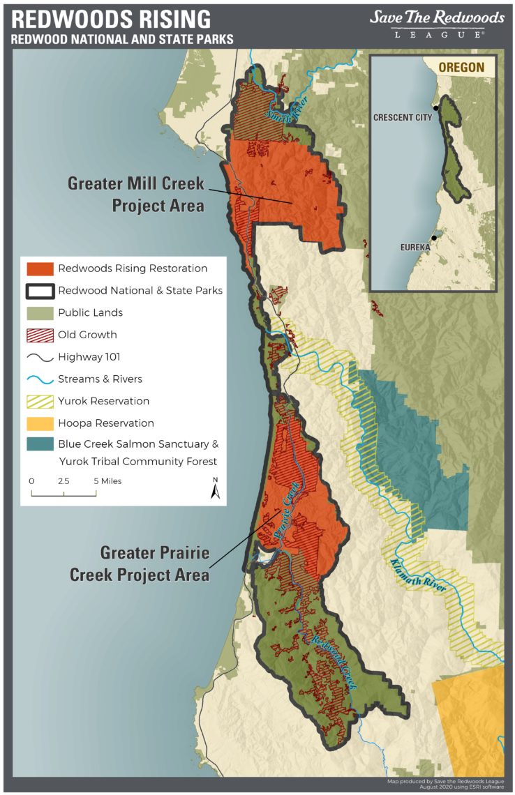
Redwoods Rising is a partnership between Save the Redwoods League, California State Parks, and the National Park Service to restore more than 70,000 acres of previously logged redwood forests and their watersheds to become the ancient forest ecosystems of the future. And this work is not happening in a remote location—it’s happening close to some of our favorite redwoods experiences within the park.
Redwoods Rising project areas are close to some of our beloved redwoods experiences in Redwood National and State Parks.
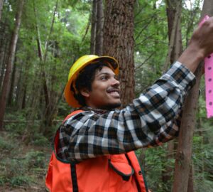
Even within a very simple forestry framework, the quality of the work in the woods so far in Redwoods Rising would be considered impressive. And with the rigorous standards and complex techniques we’ve established for this project, we are reaching a very high bar for unprecedented restoration work. Here are some photos that show some of the work in action and the progress so far.
Redwoods Rising Progress At a Glance
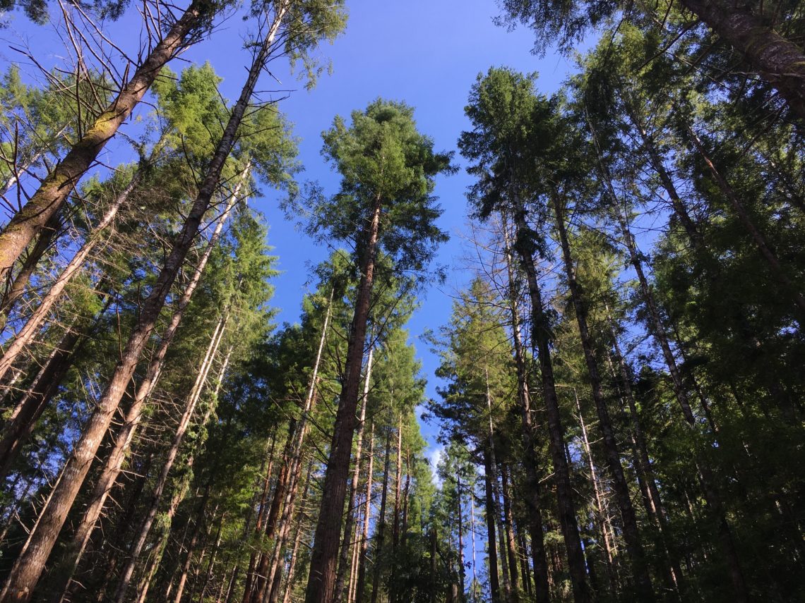
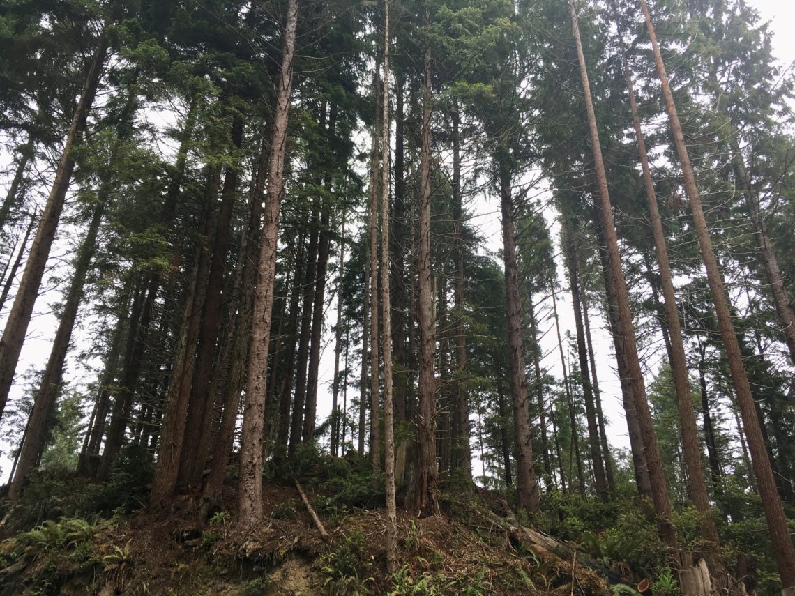
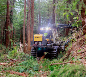
A stand of trees in Greater Mill Creek that was thinned using ground-based machinery. This sort of equipment is used on less steep ground and allows for greater flexibility and intricacy in the choice of trees. Protection of soil and understory plants can be a concern with this technique, but our operators have shown excellent skills and careful operation, with great results (literally) on the ground.
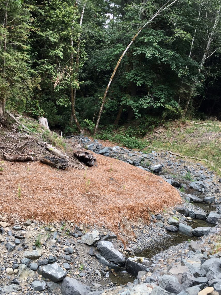
A stream channel restoration project that was conducted as part of our road access improvement work in the Greater Mill Creek area. This stream had been impacted by logging activities and was recently graded and armored to support passage of anadromous fish.
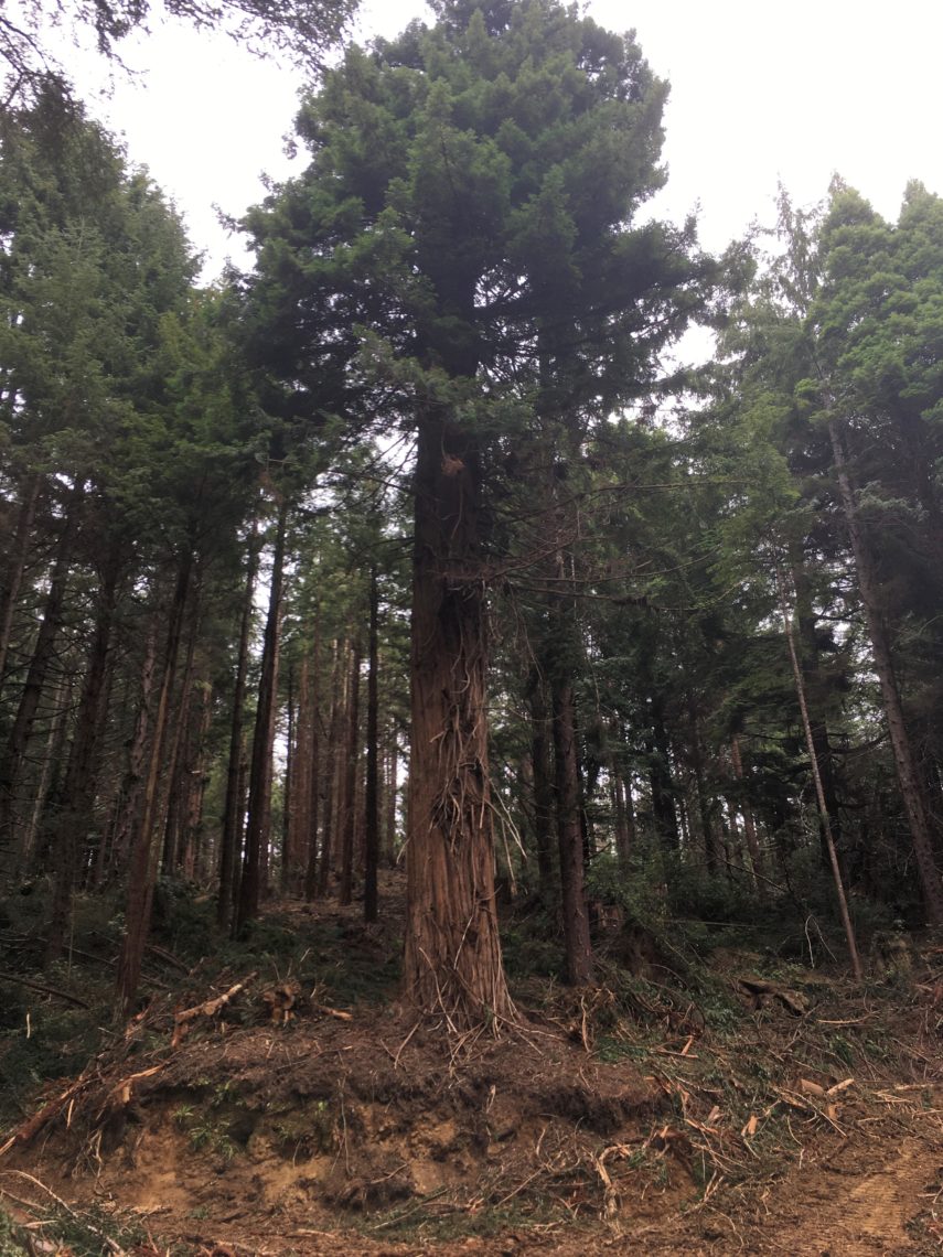
A residual old-growth redwood on the edge of a forest road, surrounded by recently thinned young forest within the Greater Prairie Creek area. Ancient trees like this are reservoirs of biological richness and are always protected in our restoration operations. They contain communities of plants, animals, and fungi that can radiate into restored areas as the forest recovers.
A recently thinned stand in the Greater Prairie Creek project area, north of 101 and between Davison Road and the Newton Drury Parkway. It was thinned using cable-yarding technology, which is necessary on steep slopes for ground protection. You can see how the forest understory is still intact, and that the remaining trees vary in size, density, and spatial arrangement. This technique, known as variable density thinning, allows us to create some of the features of an old forest at a much earlier age than would occur with either passive management or a traditional commercial thinning.
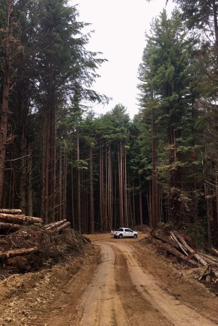
We have taken advantage of the existing road system to provide access to restoration sites. This road in the Greater Prairie Creek area was reoccupied and improved after decades of abandonment following the original logging operation, and it will be removed after the forest thinning is complete. Note the row of blue-painted trees at the outside of the bed in the road. They have been kept as ‘bumpers’ during thinning operations and will be felled as part of the road removal effort that will follow the thinning.
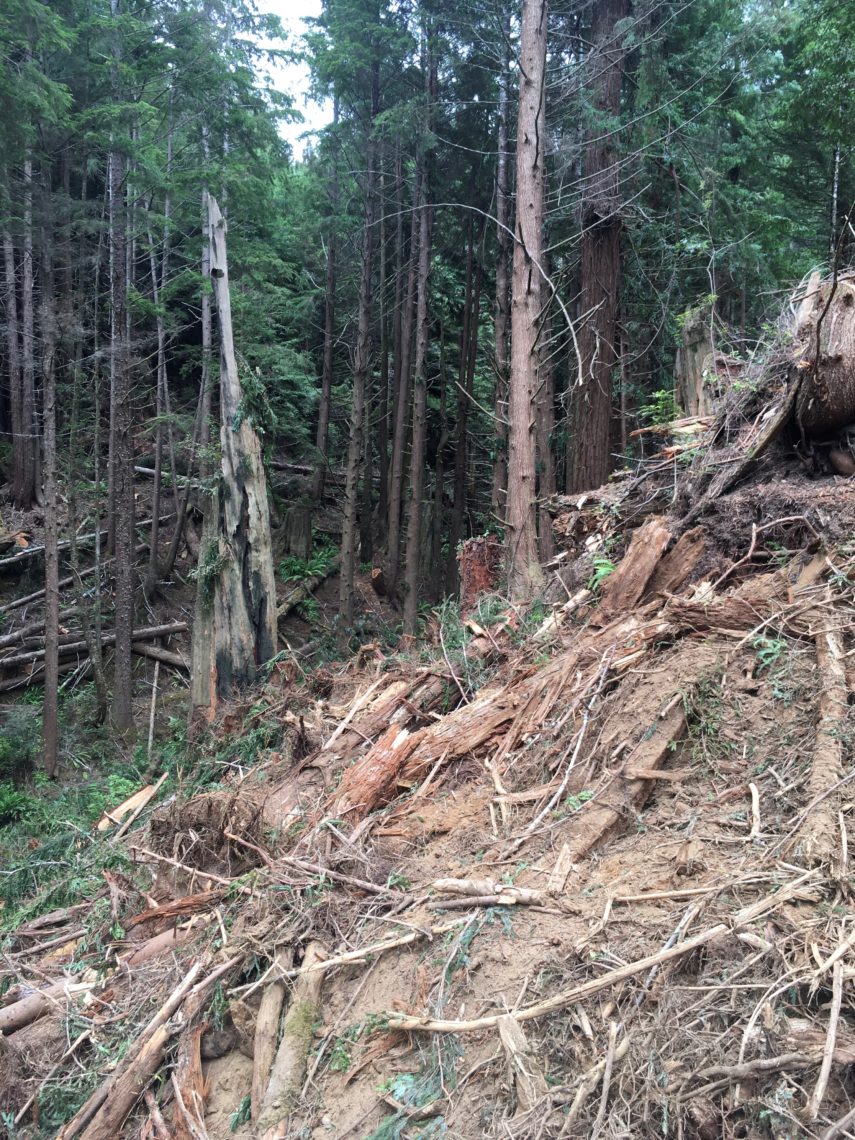
A restored hillslope within the Greater Prairie Creek area, surrounded by unthinned young forest. Note the steepness of the slope where the old road was built, and the placement of woody slash and mulch to prevent erosion. One thing that surprised me on this visit was the sheer density of the road network in Prairie Creek. The logging history in the area has meant that many roads have gone unmapped and in many cases undiscovered until now.
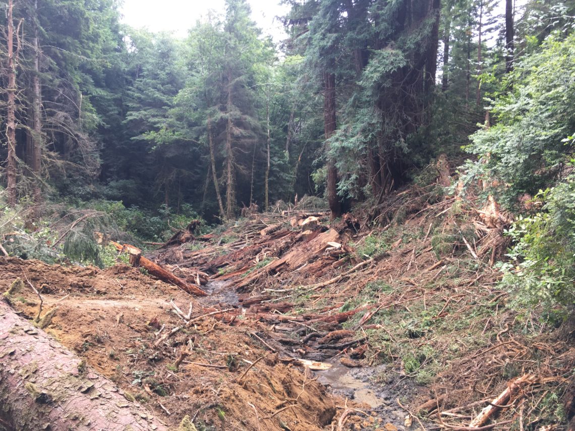
The excavation of a buried stream channel within the Greater Prairie creek area. Historically, many creeks were filled in to be able to cross them or use them as road alignments to support logging operations. I am struck by how raw this image is immediately after the work has been performed, and I am excited to see this place recover and revegetate over the next few years.
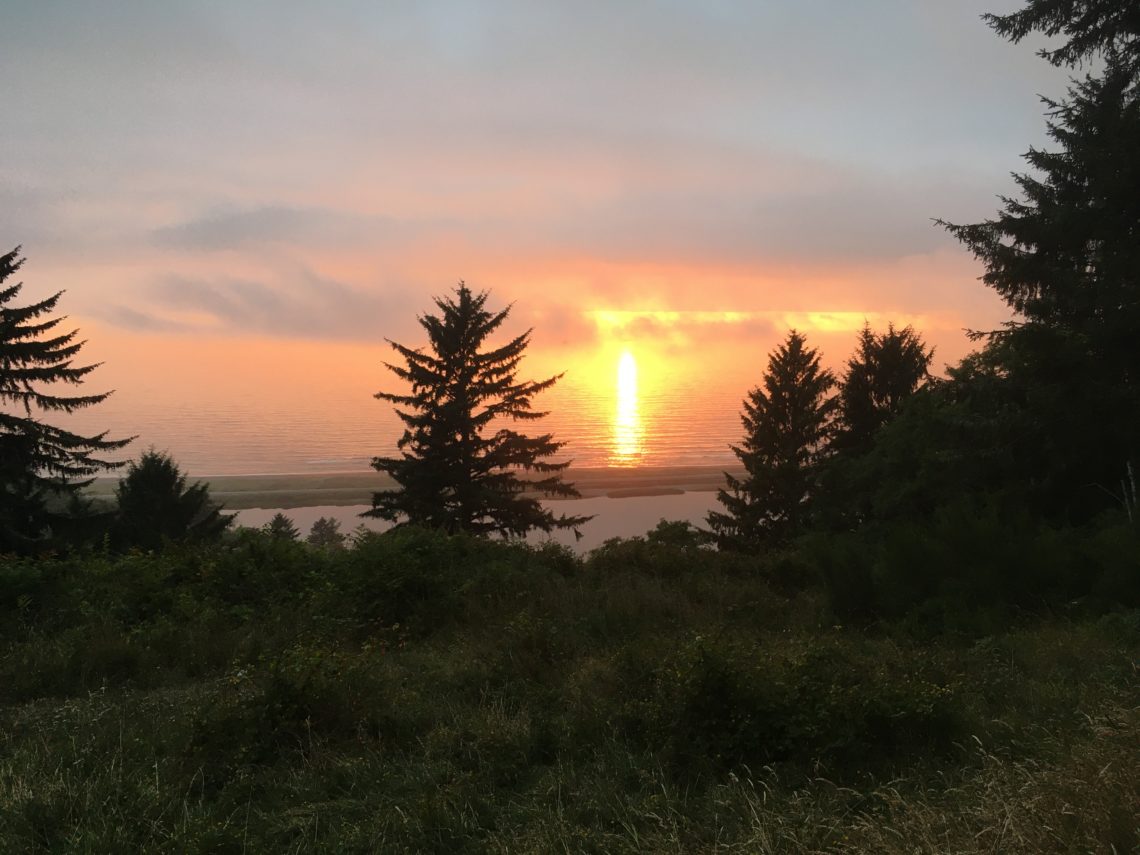
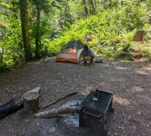
The League’s COVID travel policy prevented me from getting a hotel, so I was forced to camp at our Freshwater Ridge property overlooking Freshwater Lagoon and the Pacific Ocean. I was lucky to catch the sunset because the fog rolled in soon after, and I woke up the next morning with puddles in my tent.
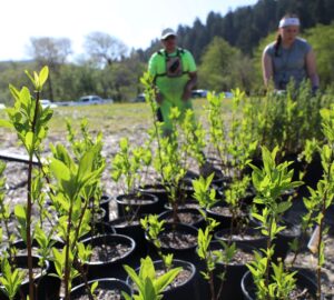
A project of this scale and complexity would simply be impossible without the care and love that we have all given to it. Thanks to our parks partners, agencies, contractors, League staff, and supporters who are helping to restore coast redwoods across their range.
Share this!
About the author
Richard joined the League’s staff in 2012 as the Conservation Science Manager and now serves as Director of Restoration. He brings nearly a decade of experience in forest management and restoration.