Time-lapse images will capture regrowth from 2020 CZU Complex Fire
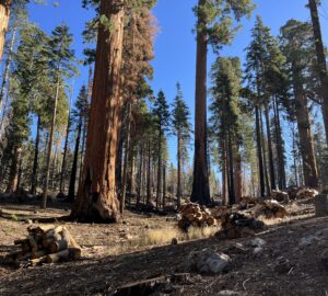
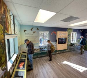
Save the Redwoods League and Sempervirens Fund have partnered on an innovative research project that will employ digital imagery to track the recovery of the coast redwood forest in Big Basin Redwoods State Park following the CZU Complex fire of 2020. The fire burned through more than 97% of the forest and destroyed most of the park’s historic infrastructure. The park remains closed indefinitely, although the park’s Rancho del Oso Nature and History Center, accessible from the west side, has reopened.
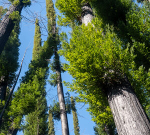
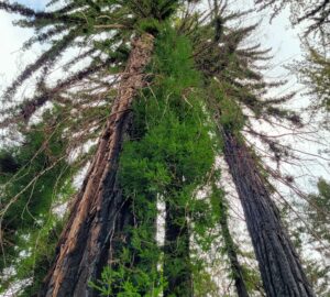
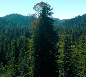
The video above shows how researchers from Northern Arizona University’s College of the Environment, Forestry, and Natural Sciences climbed high into the coast redwoods to place phenology cameras that will capture time-lapse images of the canopy and understory as it grows back. Images will be captured every 30 minutes and relayed to researchers on the ground.
Save the Redwoods League and Sempervirens Fund will share findings from this project as they unfold.

One Response to “Tracking forest recovery at Big Basin Redwoods State Park”
Roger Watson
Besides the current fallen redwoods, burnt redwoods will likely be falling across Skyline and Sunset trails for decades. How can these blackened and devastated trails be restored?
Maybe 300 years from now the forest could look better, but there will be more fires, with plenty of fuel from 2020. Better to use resources on other remaining forests. Many old growth sequoias look like funeral pyres, as there are many branches surrounding the trunks. Why aren’t we at least pulling this debris away from the trunks?