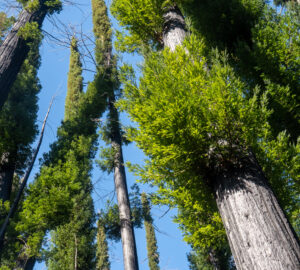
Windy Fire and KNP Complex fire threaten giant sequoia
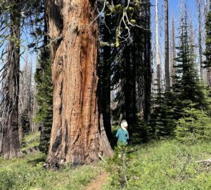
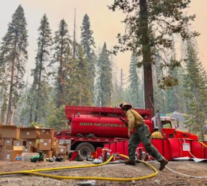
Almost exactly a year after lightning-caused fires swept through California’s giant sequoia range, new fires have erupted in the Sierra Nevada, threatening groves of the world’s largest trees. The Windy Fire has quickly grown to more than 5,400 acres and has now stretched into both the North Peyrone Grove and South Peyrone Grove. The KNP Complex, which originally started as the Colony and Paradise fires, has now exceeded 9,300 acres. Last report indicated the fire was within a mile of the Giant Forest, home of the largest giant sequoia, including the General Sherman, considered the world’s largest tree. Sequoia National Park has been closed to the public.
You can monitor the progress of these fires on our online map, which shows the proximity of the fires to the giant sequoia groves.


One Response to “Online map enables you to track progress of California wildfire”
Mike Nicholas
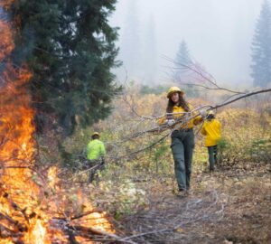
It is now apparent that the following Groves of Giant Sequoia have all been exposed to the Windy Fire. The Fire is still spreading out of control & threatens many mountain communities.
List of Giant Sequoia Groves Now involved in the Windy Fire. 9/25/21 & 71,323 AC in size @0800
1. Black Mountain
2. Red Hill
3. Peyrone (all units & south Peyrone)
4. Long Meadow
5. Cunningham
6. Starvation Creek
7. Packsaddle
8. Deer Creek
9. ALL Groves on Tule River Reservation: Parker Peak & North Cold Spring